


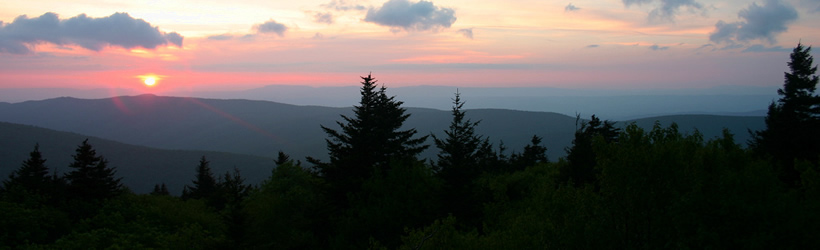
Transportation information for Mount Rogers is provided below. Travel information includes driving directions, maps, airport information and more.
Transportation Services
Sundog Outfitter
- Damascus
- Transportation Services
- 866-515-3441
Adventure Damascus Bicycle & Outdoor Co.
- Damascus
- Transportation Services
- 276-475-6262
Airports
Most visitors to Mount Rogers National Recreation Area will fly into the Roanoke Regional Airport. Roanoke Regional Airport is a full service airport that provides over 60 scheduled flights to several major cities. US Airways, United Express, Delta Connections, and more provide service to the airport.
Map + Directions
Basic Directions
Mount Rogers National Recreation Area is located 280 miles southwest of Richmond, VA and 157 miles northeast of Knoxville, TN off I-81, exit 45.

